 Ўзбекча
 English
 Русский
Enhancing the use of space data in agriculture

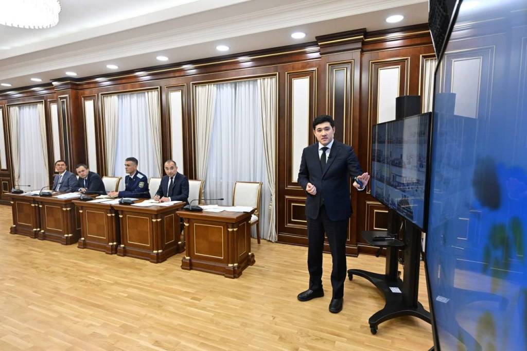
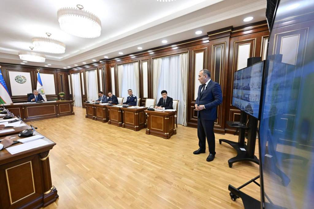
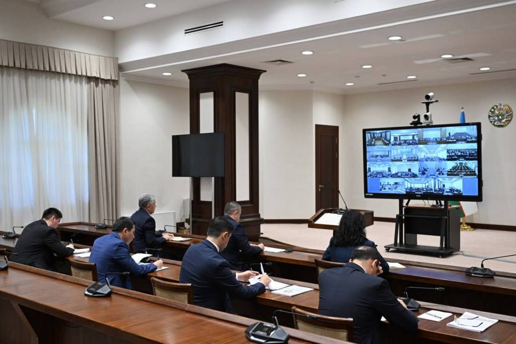
On July 31, President Shavkat Mirziyoyev chaired a meeting on measures to digitalize and expand the use of space data in the agricultural sector.
The meeting was a logical continuation of the videoconference session held the previous day. While addressing issues related to increasing fruit, vegetable, and food production, the Head of State emphasized the need for the rational use of land and improving efficiency in the agricultural sector.
The availability of accurate data and its high-quality analysis is of great importance. The Uzbekspace Agency, established at the initiative of the Head of State, provides significant opportunities in this area. In accordance with the Presidential Decree of October 14, 2024, aerospace technologies are being introduced into the country’s economy.
In particular, space data enables the objective identification of the actual situation and existing problems in the agricultural and water management sectors. Over the past two years, satellite monitoring has been conducted on more than 4 million hectares of agricultural land. It was revealed that in some areas reported as planted with cotton, it was, in fact, not cultivated, and in several cases, crops were sown on reserve lands or plots with unregistered ownership.
In this regard, instructions were given to implement a remote monitoring system for the targeted use of state-issued loans for crop cultivation.
Considering climate change and water shortages in the country, new drought-resistant varieties and agricultural technologies are being introduced. However, the current irrigation water consumption standards are outdated and do not meet modern requirements. The method of hydromodule zoning has also become obsolete, leaving more than 3,000 farmers located in the lower reaches of canals without water.
The task has been set to completely revise irrigation standards and the hydromodule zoning system with the involvement of scientific institutes within the agricultural and water management sectors.
It was emphasized that there is still no precise accounting of the water consumed by farms. In this regard, instructions were given to digitalize all stages of water use and implement contour-based water accounting.
Until recently, the capacity of reservoirs was calculated based on design data. Over the past two years, for the first time, a bathymetric analysis of 60 major reservoirs has been conducted. It was determined that due to siltation, the capacity of some reservoirs has decreased.
In this regard, instructions were given to install smart meters on all reservoirs, establish online monitoring of water volumes, and take measures to reduce siltation.
“Land and water are the future of our entire agriculture”, Shavkat Mirziyoyev stated.
Particular attention at the meeting was paid to the digitalization of the sector.
At present, farmers turn to more than 30 different platforms for matters related to land, loans, subsidies, and agricultural services. To facilitate their work, a unified integrated platform called “Digital Agriculture” will be launched.
Farmers will independently decide what to cultivate on their land and will enter information about their crops into the platform themselves. This will enable the forecasting of primary, repeat, and “ninety-day” crop volumes in advance. Such forecasting is critically essential for ensuring food security, price stability, and farmers’ income.
Under the leadership of Deputy Prime Minister J. Kuchkarov, a commission on ensuring food security has been established. To expand the production of high-demand products, preferential loans and subsidies will be provided.
The broad introduction of unmanned aerial vehicles into the agricultural sector is also planned. This autumn, more than 100 modern drones will arrive in the country. Instructions were given to expand private sector participation in this field and to organize the provision of relevant services to farmers using drones.
The need to establish a legal framework to prohibit the burning of straw was also noted.
Space data additionally contains valuable information on construction, land cadastre, nonmetallic mineral deposits, as well as forest and pasture lands. Ministries and hokimiyats have been instructed to study this data and prepare the corresponding plans.
UzA


